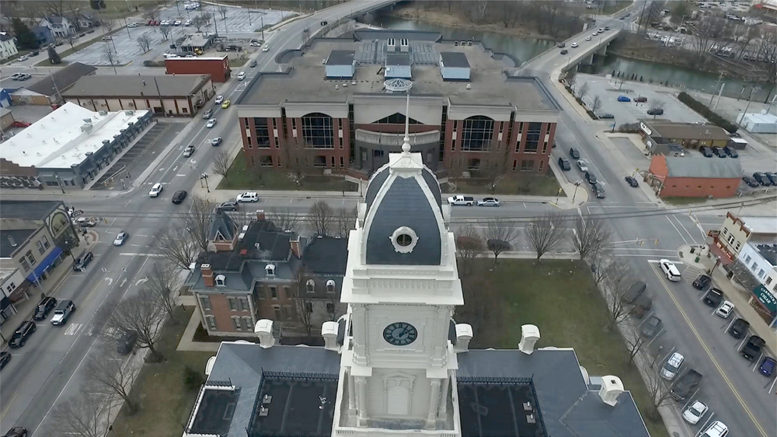
Advanced mapping will aid in emergency services, urban planning & environmental management
The Hamilton County Geographic Information System (GIS) Office has launched a groundbreaking initiative that will help better map the county.
For the first time ever, its annual update will integrate machine learning (AI) into land cover data layers, providing county departments and local governments with more detailed information from which to do their work.
GIS Director Joan Keene emphasized the project’s pioneering nature.
“This project will be transformative, enhancing data accuracy and supporting informed decision-making across the county,” Keene said.
The 2024 Orthophotography, Lidar, and Basemap Update Project will:
- Offer ultra-high-resolution imagery crucial for urban planning and emergency services
- Provide detailed elevation data essential for 3D modeling and flood risk analysis
- Utilize advanced AI to automate mapping of land cover features
- Introduce 3D hydrography data for enhanced water resource management
“The use of AI will help us better map changes in both man-made infrastructure and the natural environment,” Keene said. “Plus, it will provide unprecedented detail for those in emergency management and community planning while also aiding in flood risk analysis and precision agriculture.”
The project, initiated in January, will start delivering maps in May. When complete, the data will also be shared with county officials, city partners, and relevant stakeholders as well as the Indiana Geographic Information Office (IGIO) and the Indiana Geographic Information Council (IGIC).
To this end, a series of informational webinars will be scheduled to educate GIS users in local government on the nuances of the new geospatial data products and ensure their effective utilization.

