
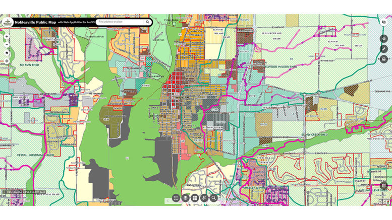
The City of Noblesville has released an updated version of its public Geographic Information System map. Designed for residential and business use, this map viewer provides dynamic tools for accessing and manipulating geographic data in Noblesville.
“This new GIS Map will have a different look and feel from the old map,” said Noblesville GIS Coordinator Michael Morris. “It was created using the ERSI’s Web AppBuilder and the new map allows for use on tablets and mobile devices, which was not available on the former viewer.”
GIS is essentially a computer-based mapping system for capturing, storing, analyzing and managing data that is tied to geographic locations as points, lines or areas. GIS makes it possible to work with multiple information “layers” concerning various geographic features at a known place or within a defined area. Layers can be of many different types of information such as roads, water bodies, parcels, utility systems, aerial images, topography and more. GIS also provides ways to easily view and examine relationships between these layers.
“All the layers are still there from before. You can print a map, search for an address or subdivision and see what day your trash is picked up or who your water provider is,” said Morris. “The viewer also still has zoning and land use activity information available as well.”
The new Noblesville Public Viewer is available at cityofnoblesville.org/GIS by clicking on the Noblesville Interactive Map icon.